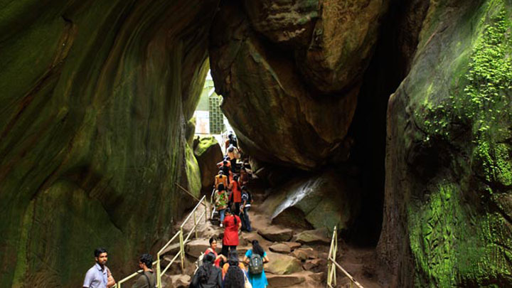
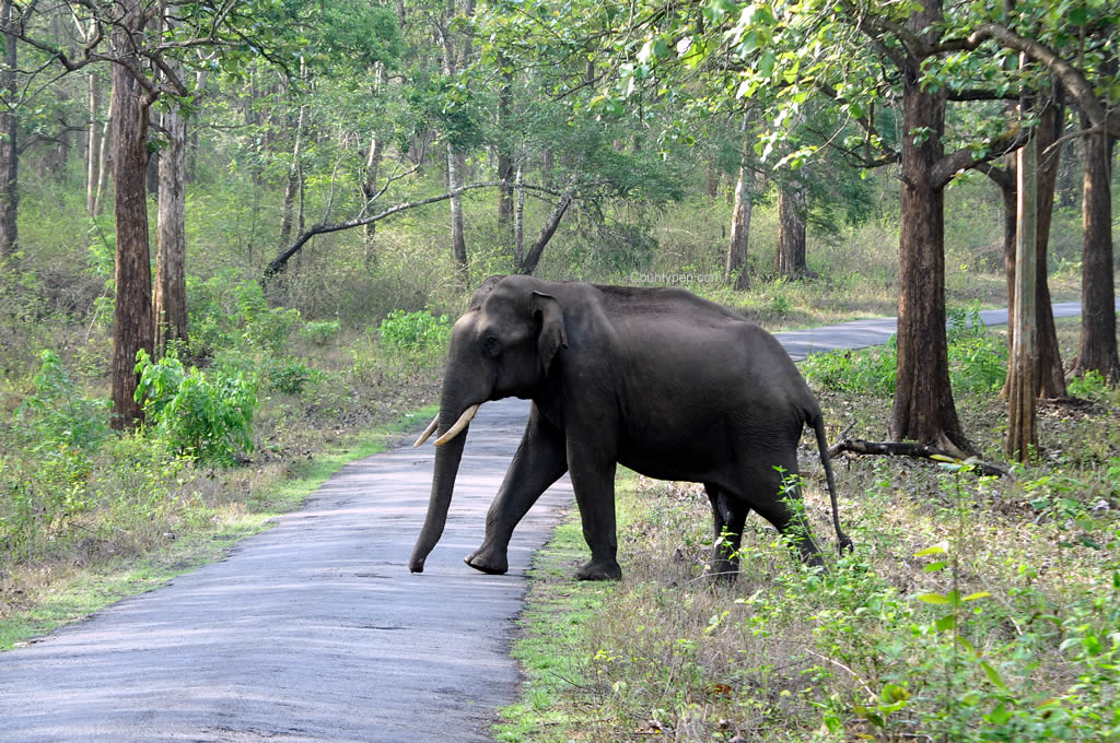
Comprising an area of 2126 sq. km, Wayanad has a powerful history. Historians are of the view that organized human life existed in these parts at least ten centuries before Christ. Countless evidences about New Stone Age civilization can be seenon the hills of Wayanad. The two caves of Ampukuthimala located between Sultan Bathery and Ambalavayal, with pictures painted on their walls and pictorial writings, speak volumes of the bygone era and civilization.
Recorded history of this district is available from the 18 th century. In ancient times, this land was ruled by the Rajas of the Veda tribe. In later days, Wayanad came under the rule of the Pazhassi Rajahs of Kottayam royal dynasty. When Hyder Ali became the ruler of Mysore, he invaded Wayanad and brought it under his sway. In the days of Tippu, Wayanad was restored to the Kottayam royal dynasty. But Tippu handed over the entire Malabar region to the British, after the Sreenagapattanam truce he made with them. This was followed by fierce encounters between the British and Kerala Varma Pazhassi Rajah of Kottayam. When he Rajah was driven to the wilderness of Wayanad, he organized the war – like Kurichya tribals into a sort of people’s militia and engaged the British in several guerrilla type encounters. In the end, the British could get only the dead body of the Rajah, who killed himself somewhere in the interior of the forest.
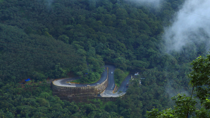
Thus, Wayanad fell into the hands of the British and with it came a new turn in the history of this area. The British authorities opened up the plateau for cultivation of tea and other cash crops. Roads were laid across the dangerous slopes of Wayand, from Kozhikkod and Thalassery. These roads were extended to the cities of Mysore and Ootty through Gudallur. Through the roads poured in settlers from all parts of Kerala and the virgin forest lands proved a veritable gold mine with incredible yields of cash crops.
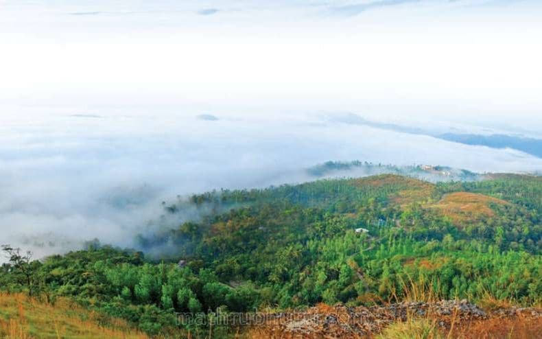
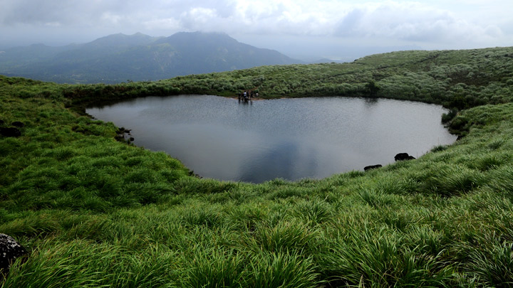
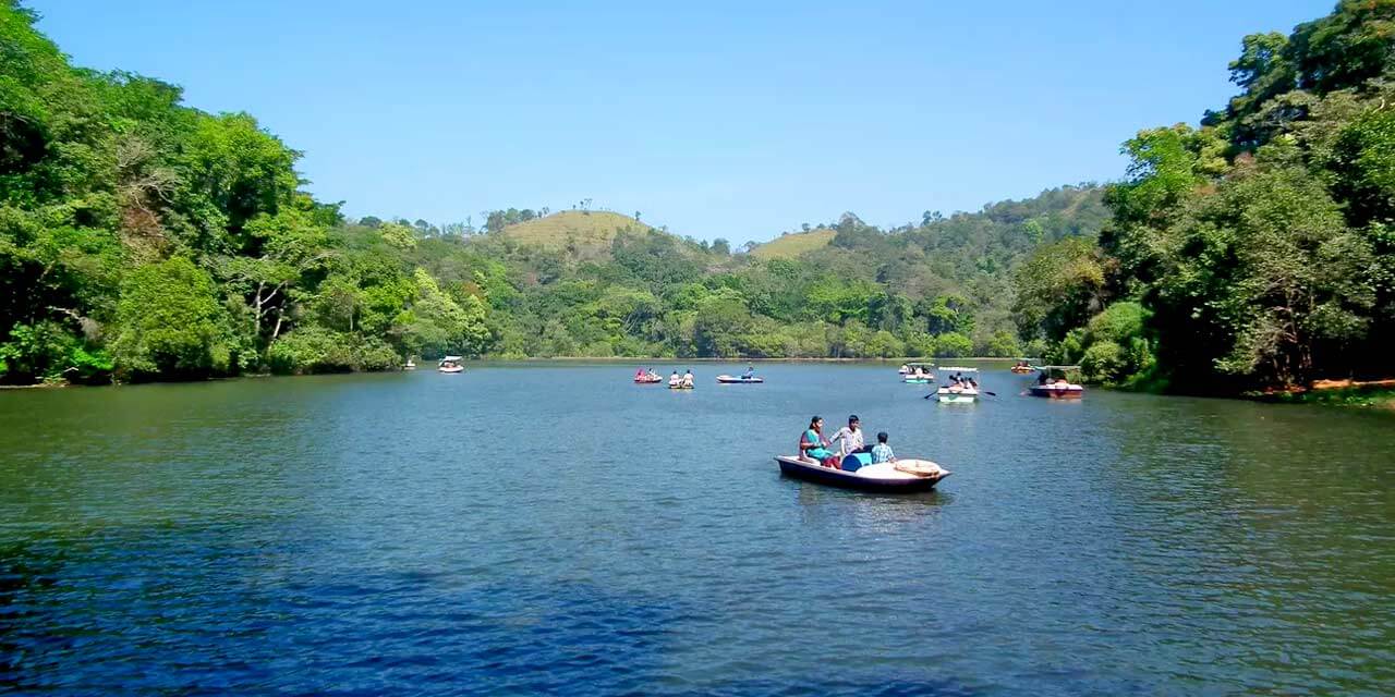
When the State of Kerala came into being in November 1956, Wayanad was part of Kannur district. Later, south Wayanad was added to Kozhikkod district. In order to fulfil the aspirations of the people of Wayanad for development, north Wayanad and south Wayanad were carved out and joined together to form the present district of Wayanad. This district came into being on November 1, 1980 as the 12 th district of Kerala. Wayanad is located in the north-east region of Kerala, at the southernmost tip of the Deccan Plateau. It is known for its cool highland climate, misty peaks and its virgin forests. It is often called the spice garden of the south, the land of paddy fields, and the home of the monsoon.